


ALTIFORM
Our own way of turning real places into precise 3D models - terrain, buildings and whole cities.
An FRMD original
Every model starts with carefully chosen height data and source material - here the Matterhorn's own height lines.
Precision you can see
Ridges, faces and glaciers rise into shape. From a mountain summit to a church tower, every form is refined for clarity and depth.
Refined by hand
Checked against drawings and photographs and adjusted by hand until the place reads from across the room. This is the model that is printed.

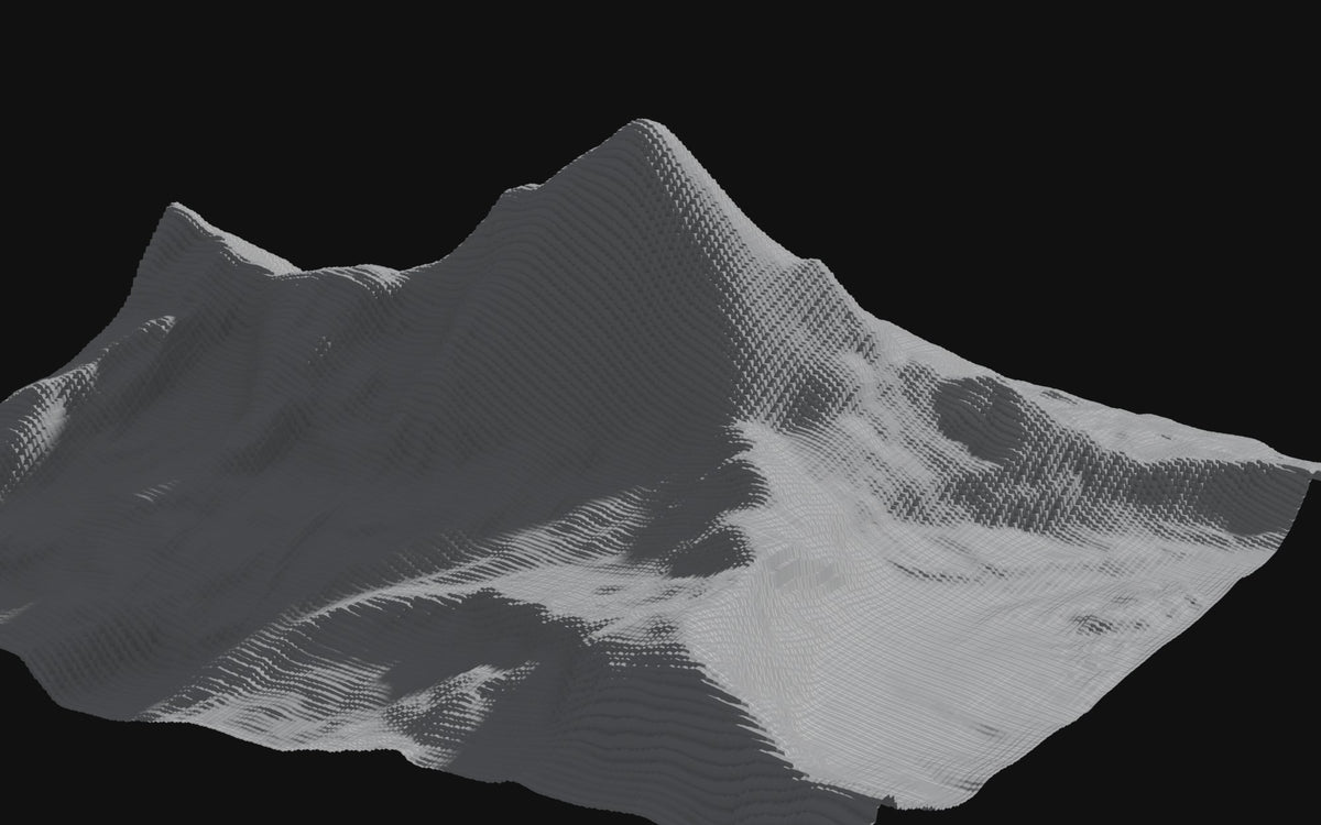
The Matterhorn, same camera and light. Drag, or use the arrow keys.

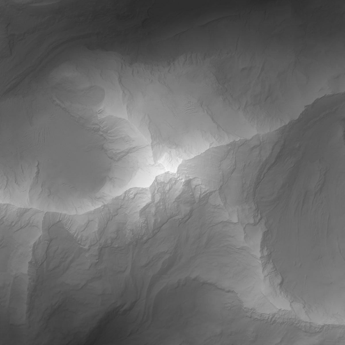
It starts with the data
The problem with standard data
Most 3D models of places are built on openly available standard data. It is quick, but it costs quality. In terrain it has a measuring point every 25-30 metres - fine for a map, but it puts the summit of the Matterhorn about 150 metres too low and turns the steep faces into steps. Buildings become boxes with flat roofs. The model shows the outline, not the place.
A different approach
We find the most detailed source material there is for every place: height data for the terrain, drawings and photographs for the buildings. Where several sources cover the same thing, we measure them against each other and keep the one that is right.
Built with ALTIFORM
Our own framework turns that material into precise 3D models - terrain up to 30 times sharper than standard data, buildings with their own roofs and towers, bridges standing on their piers.
The answer: technology and hand work in one process.
The ALTIFORM process
-
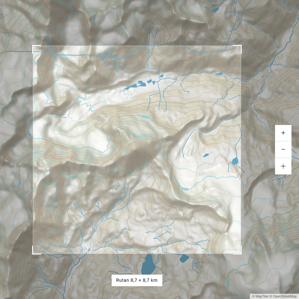
The window
It starts with the window. We place the square so the place can be recognised - the summit, the valley, the shore or the old town where they do the most - and decide what source material the model needs.
-
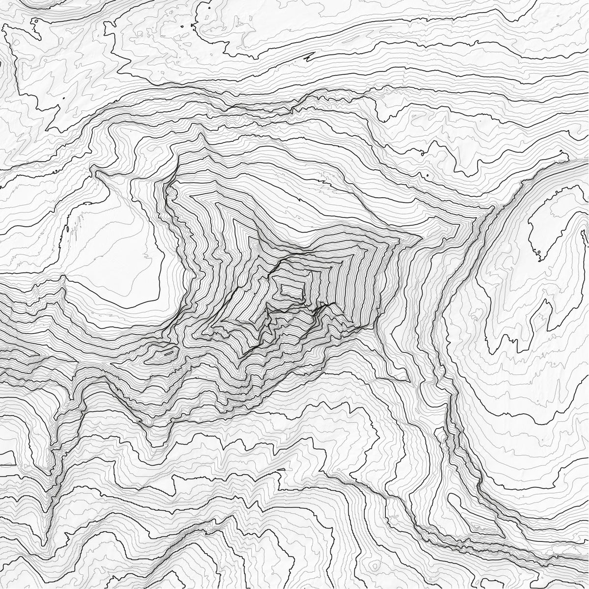
The source material
We gather the most detailed height data there is for the square and, for buildings, original drawings and photographs. The sources are compared where they overlap and joined into one surface without seams or holes.
-
Time for hand work
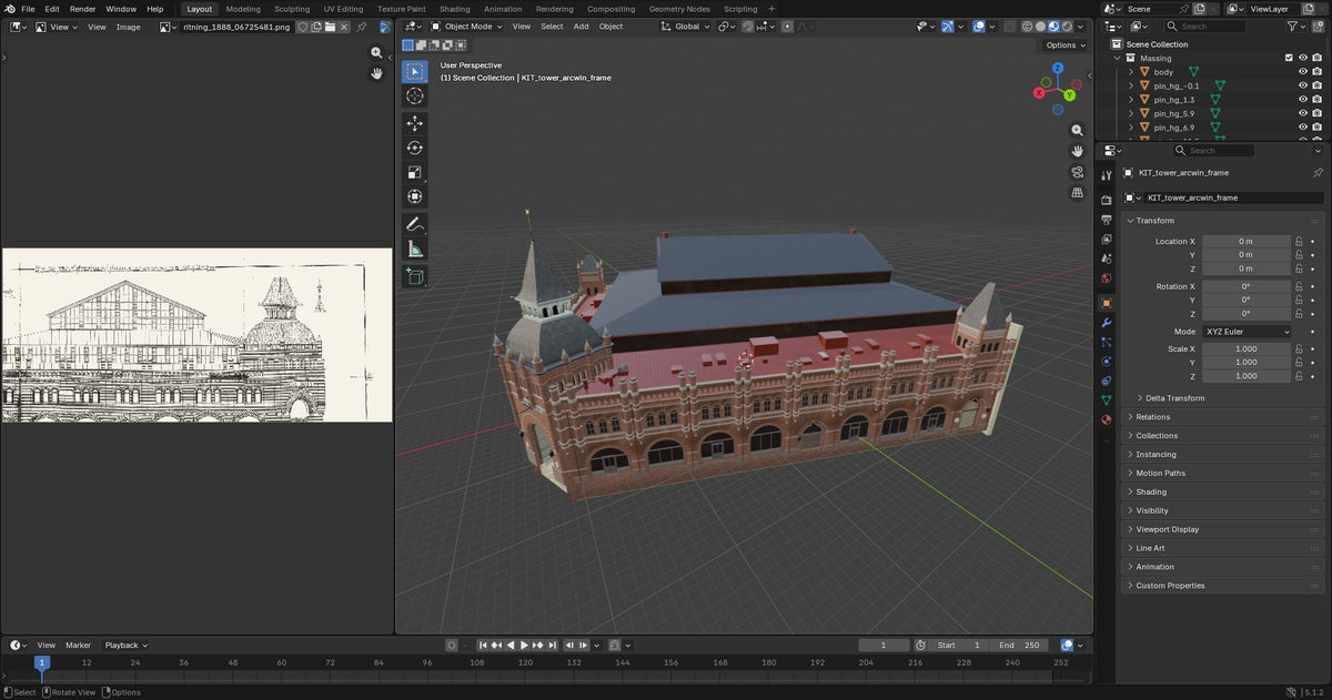
Every place is different, so we take over by hand. The height is raised with care: large shapes and fine detail are scaled separately, and sharp summits keep their shape. Buildings are modelled from their drawings and checked against photographs, and we add what makes the place: roofs and towers, bridges on their piers, quays and water.
-
The printed model
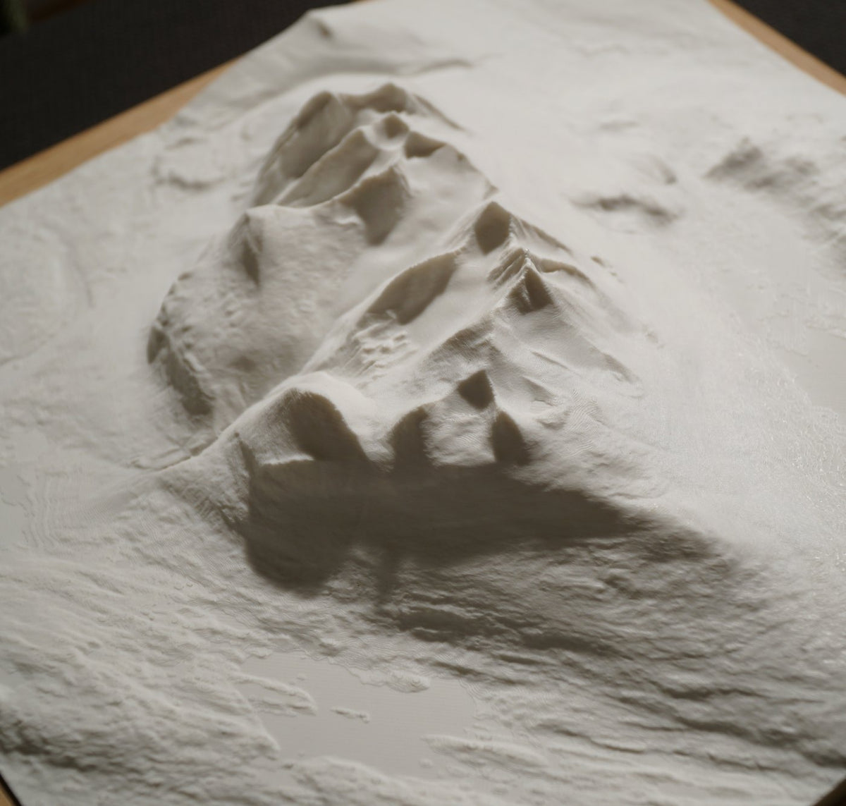
Last, the model is prepared for the print: calculated at exactly the detail a 0.4 mm nozzle can draw, then printed layer by layer in Stockholm. This is where it becomes a piece - not a picture of a place, but a piece of it.
By combining our own technology with work by hand, we reach a level of detail standard methods cannot.
Every model is compared with reality before it becomes a piece.


Östermalm market hall: our model, rendered from exactly the place and distance the photo was taken from. It differs from the photo by less than 1 % of the facade's width. Photo: Mattias Ek, Stockholms stadsmuseum (CC BY).
What ALTIFORM builds
One process, from the mountain to the street corner.
 TerrainMountains, valleys, coasts and whole countries.
 BuildingsModelled from their drawings, checked against photographs.
 CitiesEvery house with its own roof, every bridge on its piers.
Want a place of your own? FRMD By You builds it with the same technology.


